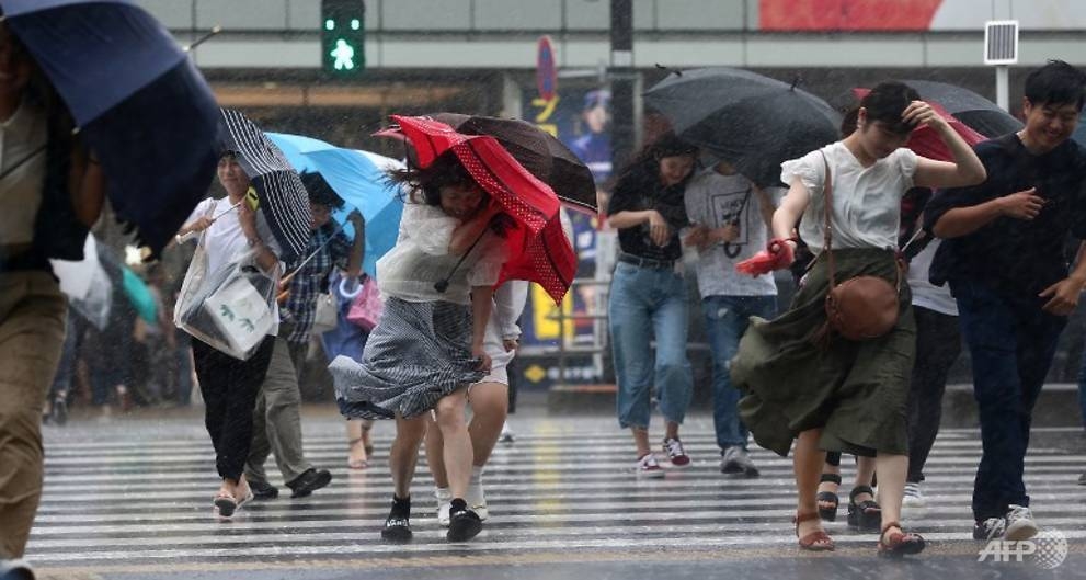
Japan braces for likely landfall from strong typhoon Jebi
Japan braced on September 3 for the arrival of strong typhoon Jebi as the storm churned north towards the islands, the latest in a series of harsh weather events to strike Japan this summer, meteorologists said.
-
 Southeast Asia’s digital economy to top 300 billion USD by end 2025
- Severe flooding reported in central Thailand
- Thailand demands Meta explain massive personal data leak affecting millions of users
- Thailand launches programme to boost tourism in border provinces
- Indonesia’s palm oil production set to rise 10% in 2025
- Timor-Leste seeks trade & investment expansion following ASEAN accession
- Vietnam to supply rice seeds for Cuba’s 2026 crop
- RoK, Cambodia agree to set up task force to combat online scams
- Cambodia officially inaugurates Techo International Airport
- Thailand clamps down on overseas text messages


