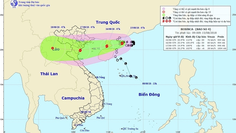
Bebinca heads towards northern Vietnam, heavy rains expected
Tropical storm Bebinca is moving in a west-southwest direction at a speed of 10 kilometres an hour, heading towards the coastal provinces from Quang Ninh to Thanh Hoa.
-
 ASEAN, China strengthen joint efforts to combat cross-border cybercrime
- Consolidating and promoting the strength of national solidarity
- First kidney transplants from brain-dead donor performed in Mekong Delta
- HCM City to break ground on 1.8-billion-USD Metro Line 2 in early 2026
- Vietnam to pilot online tax declaration portal this month ahead of 2026 rollout
- For a plastic-waste-free environment
- Vietnam to develop a world-class Olympic sports urban area
- Removing site clearance 'bottleneck' to speed up key projects
- Vietnam’s drive to extinguish smoking by expanding smoke-free areas
- Environmental protection—from awareness to action


