Vietnamese | English

29/08/2019 - 14:30

Long An applies geographic information system (GIS) to forecast natural disaster and response to climate change

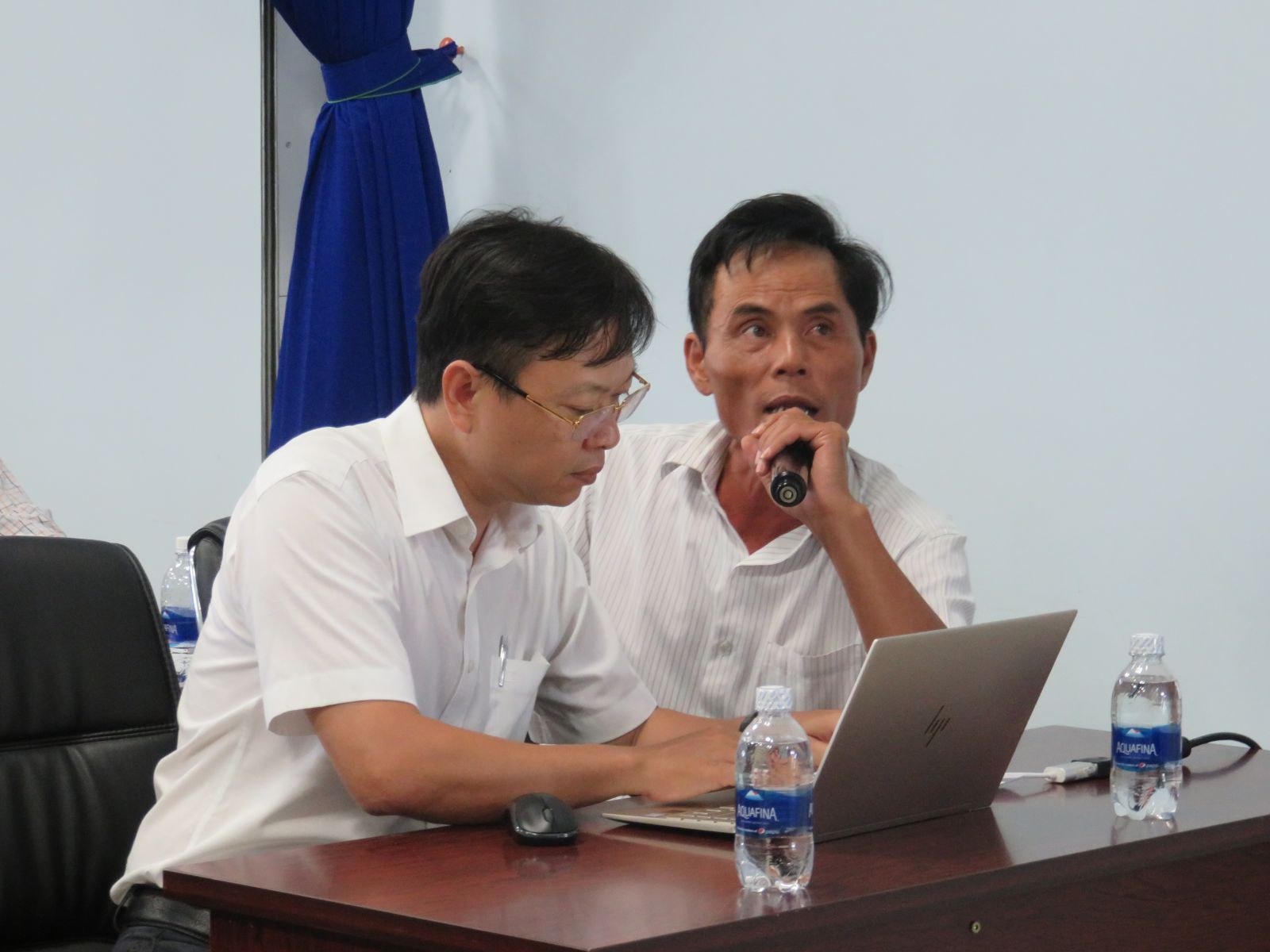
"Application of geographic information system (GIS) to forecast natural disaster and response to climate change in Long An province" is the topic of a seminar organized by the Department of Science and Technology and the provincial Hydro-meteorological Station on August 28.

Participants are introduced to GFS global database decoding tool for disaster forecast and warning

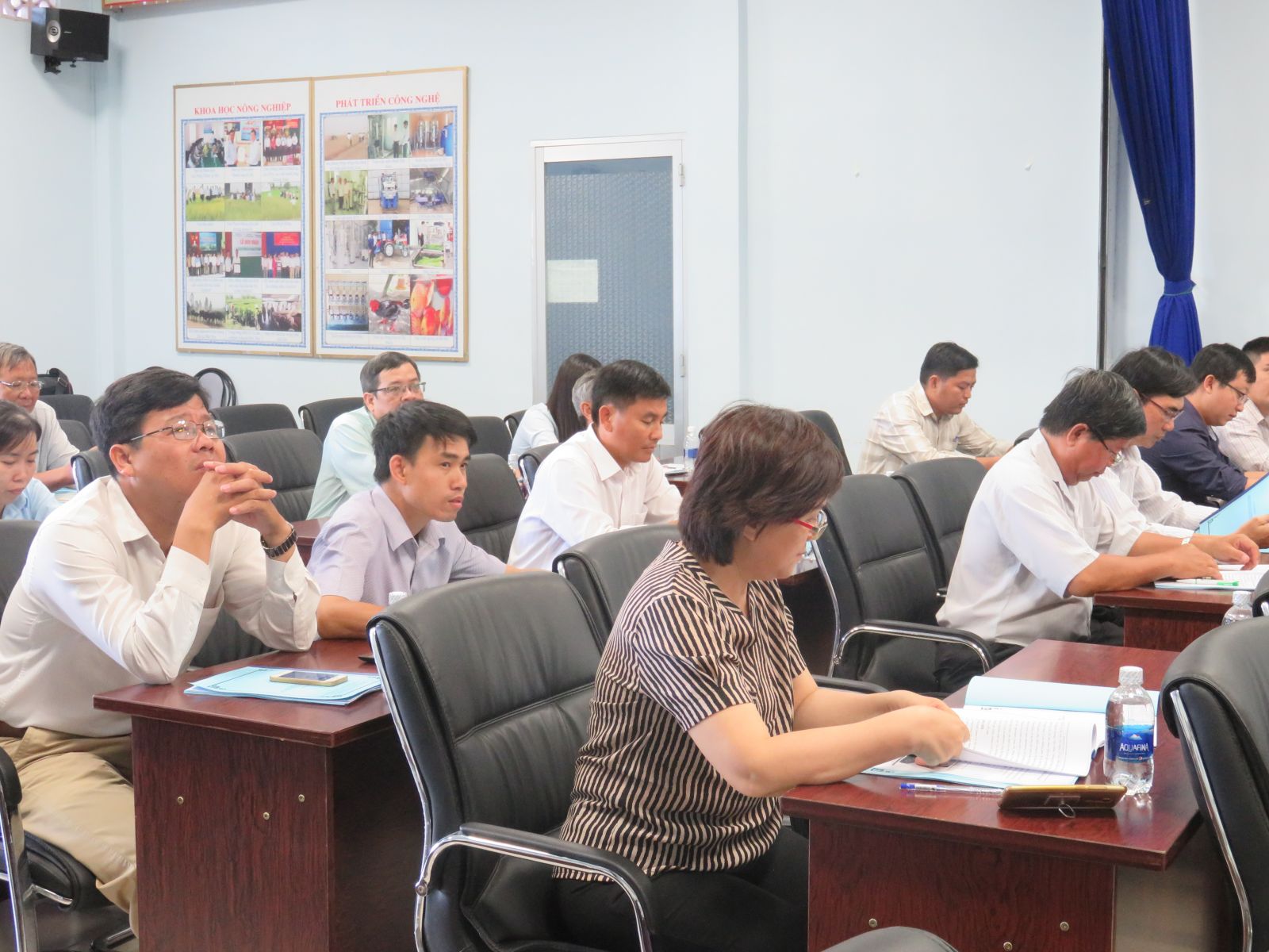
The Southern Region Hydro-meteorological Station; Hydro-meteorological Station of Tien Giang, Ben Tre and Binh Phuoc provinces; departments, branches and localities in Long An province attended the seminar.

At the seminar, participants were introduced to GFS global database decoding tool for disaster forecast and warning; the management tools of the hydro-meteorological database; and the tool to integrate hydro-meteorological information into the provincial portal. 

Deputy Director of Long An Department of Science and Technology - Ho Thi Diep Thuy said that the storage and management of the hydro-meteorological data in Vietnam in general, the data in the province in particular have not been developed strongly due to some subjective and objective reasons. Therefore, the Department and the provincial Hydro-meteorological Station implement the project. Engineer Nguyen Quang Ngoc is the leader, Associate Professor - Dr. La Thi Cang is the co-chair of the project.

Participants attend the seminar

This project research data standardization method to create a unified form for systematic data storage and management; build a database management and analysis tool for the field of hydrometeorology (such as collecting, storing, updating, processing, integrating, etc.); synchronize hydro-meteorological data in the province (including places without stations) on heat, humidity and rain in the most convenient way for users.

Through the implementation process, up to now, the system has basically been completed. The seminar is an opportunity for the project leader to present the implemented content and initial results achieved during the research and data collection process. At the same time, participants contributed ideas to improve the system. From there, the hydro-meteorological information system can actively serve the requirements of socio-economic development, ensure security and defense, contribute to mitigate the damage of natural disasters and respond to climate change in Long An province./.

By Mai Huong - Translated by Pham Ngan

Share