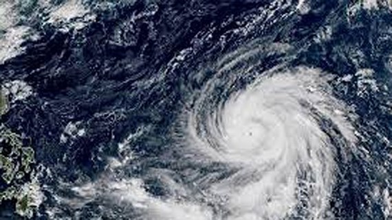
East Sea likely to receive super typhoon
An international typhoon named Yutu has brewed the east part of the Philippines with fury reaching level 15-16 and is forecast to moving 167-201 kilometers an hour, likely to enter the East Sea in the next few days.
-
 Vietnam to pilot online tax declaration portal this month ahead of 2026 rollout
- For a plastic-waste-free environment
- Vietnam to develop a world-class Olympic sports urban area
- Removing site clearance 'bottleneck' to speed up key projects
- Vietnam’s drive to extinguish smoking by expanding smoke-free areas
- Environmental protection—from awareness to action


